RealityScan
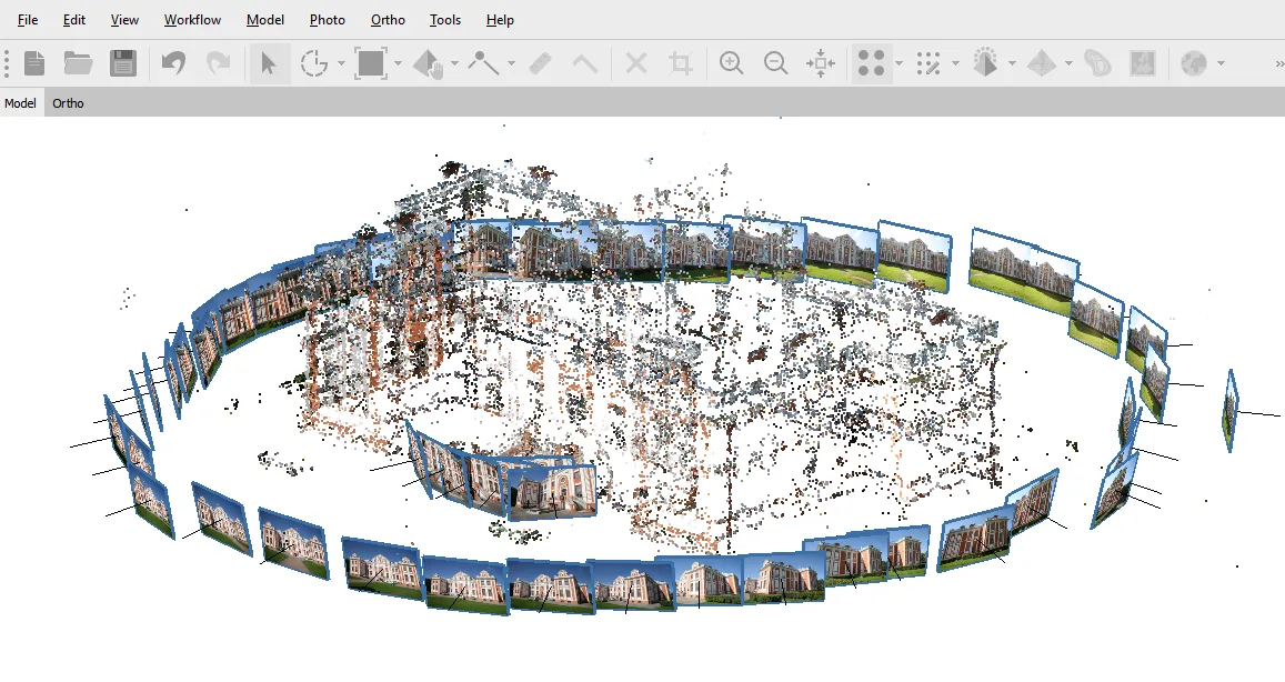
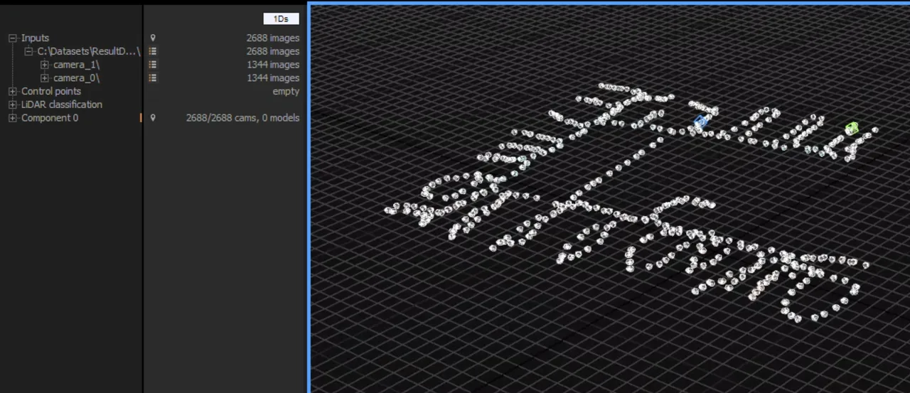
Epic Games photogrammetry suite, formerly RealityCapture, free below USD 1M revenue and built for merging photos with laser and SLAM scans.
Phone-based 3D scanning using LiDAR, photogrammetry and Gaussian splats, with CAD-ready floor plans on the paid tiers.
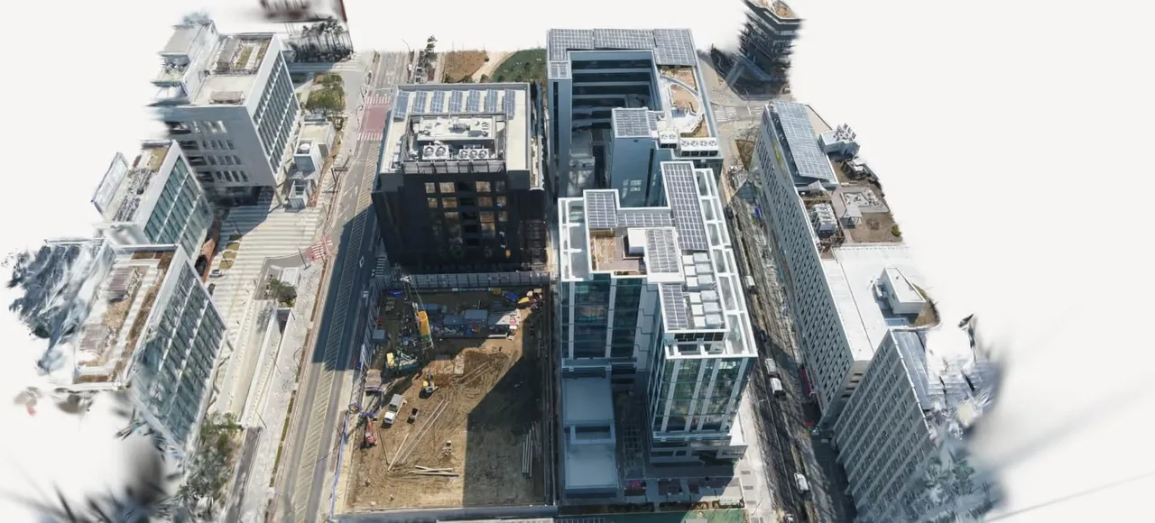
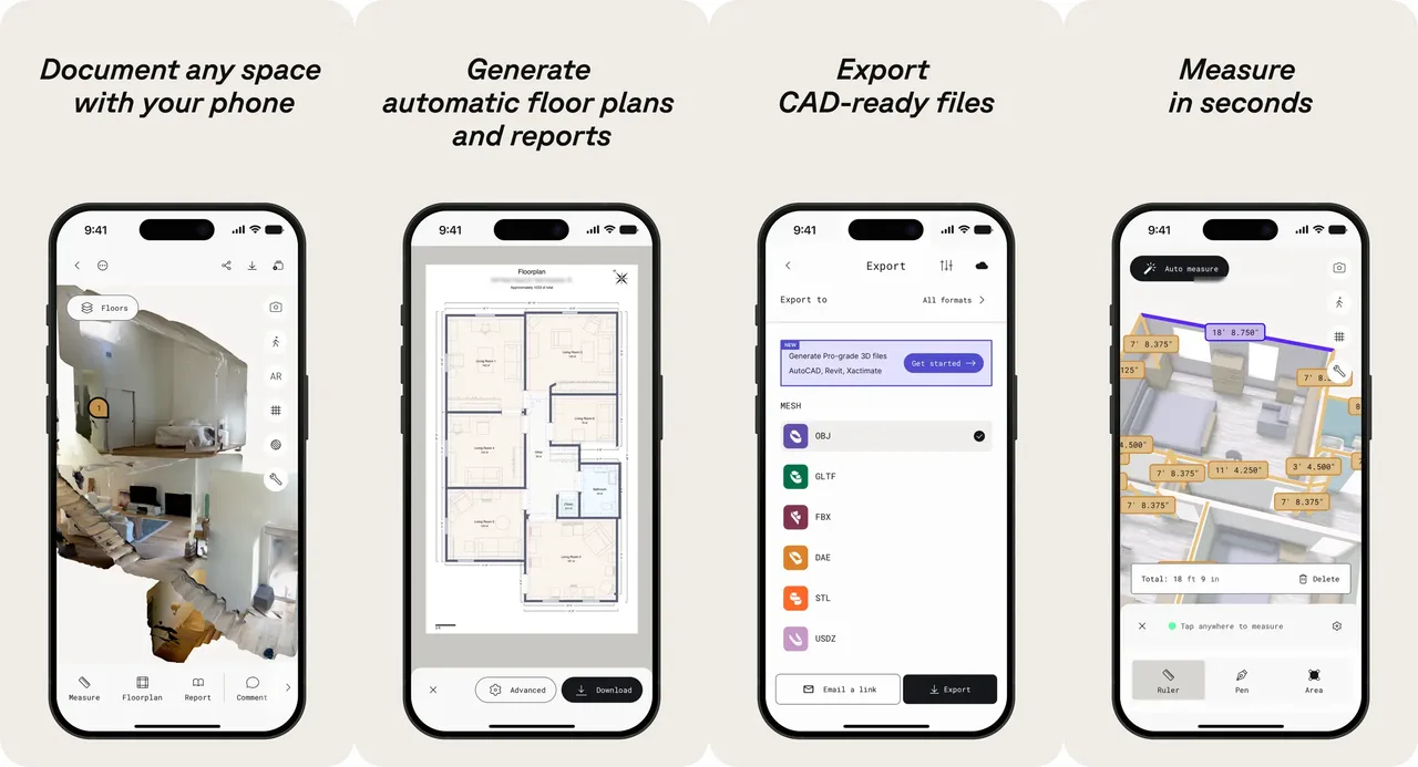
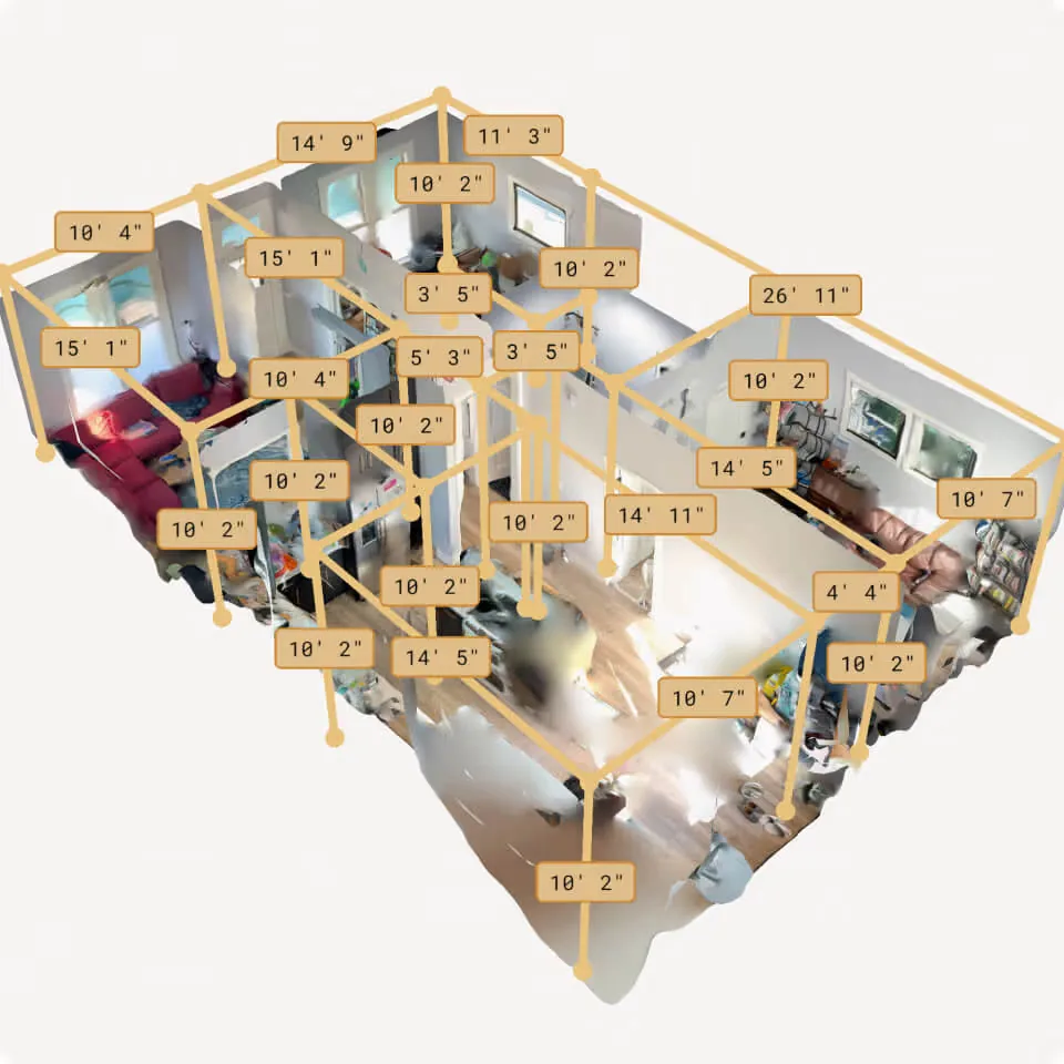
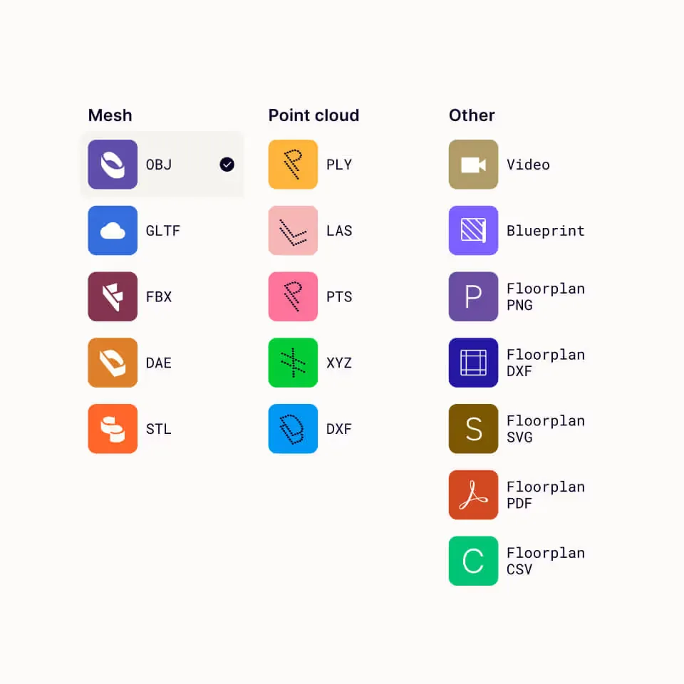
Polycam turns a phone into a 3D scanner. On Apple hardware with a LiDAR sensor it meshes rooms on-device in real time; on everything else, including all Android phones, it uploads photographs and reconstructs them in the cloud. It also produces Gaussian splats, which capture reflections and foliage that defeat conventional photogrammetry but are not editable meshes. The company started in 2020 alongside Apple's first LiDAR phones as a prosumer scanning toy and has since pushed hard into architecture and construction, where the selling point is checking a floor plan while still standing in the building. Two things shape whether it fits: the free tier exports only GLTF, and there is no ground control point or RTK support, so it is accurate enough to quote a kitchen remodel and not accurate enough to be a survey.
On an iPhone Pro or iPad Pro the mesh builds on screen as you walk, so gaps are visible while you can still fill them. Processing stays on the device, which makes it fast and means the data never leaves the phone. Range is roughly five metres, so it is a tool for rooms and objects, not for landscapes.
Any phone can shoot overlapping photos or a video orbit and send them up for structure-from-motion reconstruction. The result has much sharper texture and finer geometry than LiDAR, which is why object scans for 3D printing and VFX go this route, but it needs surface texture to work and fails on shiny, transparent or plain-coloured objects.
Apple's RoomPlan lets it identify walls, doors, windows and cabinetry while scanning, and the resulting plan exports as DXF with elements on separate named layers rather than a flat pile of vectors. That is the difference between a drafter importing a file and a drafter rebuilding it. Business tier and above.
Reflections, glass, foliage and hair reconstruct convincingly as splats where photogrammetry produces holes and noise. The catch is that the output is a volumetric PLY, not geometry: it cannot be rigged, boolean-edited or printed without specialised and still experimental tooling.
For a closed-source consumer app it maintains a real GitHub presence. Its polyform tool exports optimised ARKit camera poses into formats that NeRF research frameworks read directly, which spares researchers hours of desktop pose estimation and has quietly made the app a common data-ingest step in computer vision work.
Recurring themes across third-party user reviews (G2, Capterra, TrustRadius).


Polycam is free to start. There is a free tier you can use indefinitely, and paid plans begin at USD 150/year (Basic).
| Plan | Price | What you get |
|---|---|---|
| Free | USD 0 | Capture works, export barely does: geometry comes out as GLTF only, media carries a watermark, and captures are capped at 150 images or three minutes of video. Treat it as a viewer and sharing tool rather than a way to get files. |
| Basic | USD 150/year or USD 30/month | Unlocks the six common mesh formats including OBJ, FBX, STL and USDZ, removes watermarks, raises limits to 300 images, and allows private sharing. This is the tier that makes the app useful for 3D printing or a DCC pipeline. |
| Business | USD 300/year per user, listed as 25 percent off USD 400 | Where the professional output lives: floor plans as DXF, PDF, SVG and CSV, point clouds as LAS, PLY, XYZ and PTS, AI spatial reports, measurements and shared team libraries. |
| Enterprise | USD 1,200/year per seat, three seats minimum | Adds the content management API, SSO, SOC-II compliance, regional storage and custom branding. API access is gated here rather than sold separately. |
Scan a kitchen, check the dimensions before leaving, and export a DXF plan plus a square footage report the same day. Catching a wrong measurement on site instead of back at the office is the whole return on investment here.
As-built documentation without the licence cost of a full survey suite. For a firm of a handful of people, the Business tier does the routine measuring work that would otherwise justify much more expensive software.
A scanner in your pocket for props, textures, foliage and surfaces, exporting straight into Blender, Maya or a game engine on the 150 dollar tier. Splat capture also handles subjects that photogrammetry has always mangled.
There is no ground control point support, no RTK, and no way to tie a scan to a real coordinate system. Stated accuracy is around half an inch indoors, which is fine for estimating and useless for boundaries, structural monitoring or earthwork volumes. This is the single hardest limit in the product.
The free tier exports GLTF and nothing else, which catches out a lot of people who scan something successfully and then discover they cannot get an STL or OBJ out of it. If you want files rather than a shareable link, the subscription is not optional.
Tracking drift accumulates over distance, so long corridors and multi-room walkthroughs often fail to close the loop and come out misaligned. Sunlight also interferes with the infrared sensor. The practical workaround is scanning room by room and stitching later, which undoes much of the speed advantage.
The walkthrough viewer is documentation, not a marketing product. There is no lead capture, no meaningful white labelling and no listing-portal publishing, which is what the dedicated tour platforms are actually selling.
No. The free tier exports GLTF and nothing else, and GLTF is a web delivery format rather than something a slicer wants. STL, OBJ, FBX, DAE and USDZ all sit behind the Basic plan at 150 dollars a year. This surprises a lot of people because capture itself works fully on the free tier, so the limitation only becomes apparent after the scan is done.
Only for the LiDAR features. Any iPhone or Android phone can use photogrammetry mode, where photos are uploaded and reconstructed in the cloud. But real-time on-device meshing, instant measurements and the RoomPlan floor plan workflow all need Apple's LiDAR sensor, which means an iPhone 12 Pro or later or an iPad Pro from 2020 onwards. The Android app is a different product in practice.
Polycam states around half an inch on typical interior LiDAR scans. That is enough to estimate flooring, price a remodel or draft a schematic layout. It is not enough for anything legal or structural, because the app has no ground control point or RTK support and cannot tie its local coordinates to a real world coordinate system. For boundaries, deflection monitoring or earthwork volumes you need survey equipment and survey software.
It depends on the mode, and the difference matters if you have compliance obligations. LiDAR space scans and floor plan generation run on the device, so the data stays local unless you choose to share it. Photogrammetry and Gaussian splats are cloud-processed, so the raw imagery is uploaded. Enterprise adds SOC-II, SSO and regional storage, but environments that forbid cloud processing outright will not be satisfied by that.
Tracking error accumulates as you walk, and over a long route the end of the scan no longer lines up with the start. This shows up as duplicated or offset walls. It is a limitation of phone-based SLAM rather than a bug you can configure away. The usual workaround is to scan each room as its own capture and align them in desktop software afterwards.
Scaniverse is free and scans objects and rooms well, but it has no CAD output, no floor plans and no measurement tooling, so it is a visual tool rather than a drafting one. RealityScan is free and feeds Unreal Engine directly, with slower processing and a clunkier interface by most accounts. Polycam costs money and earns it specifically through the floor plan and CAD export path. If you only want a mesh, the free options are hard to beat.
Epic Games photogrammetry suite, formerly RealityCapture, free below USD 1M revenue and built for merging photos with laser and SLAM scans.
Photogrammetry software that turns photos and LiDAR into measurable point clouds, meshes and orthomosaics. Perpetual licence, no subscription.