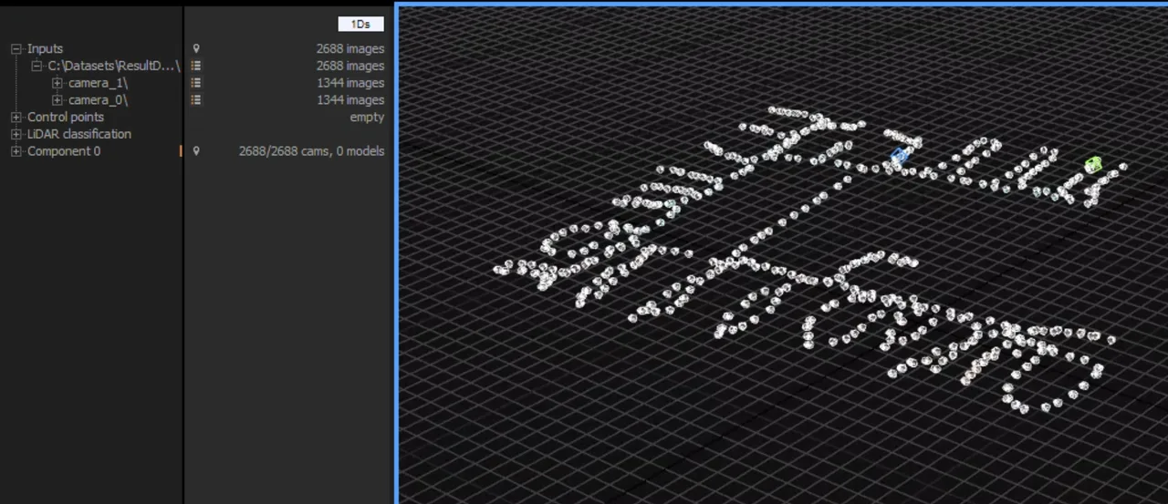
RealityScan
Epic Games photogrammetry suite, formerly RealityCapture, free below USD 1M revenue and built for merging photos with laser and SLAM scans.
Photogrammetry software that turns photos and LiDAR into measurable point clouds, meshes and orthomosaics. Perpetual licence, no subscription.
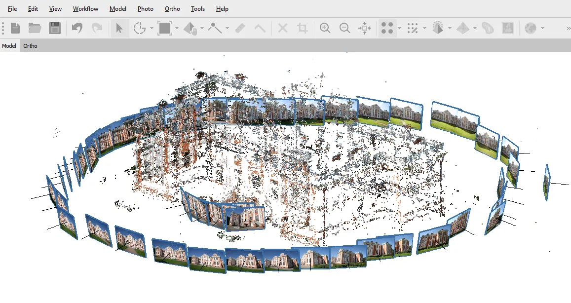
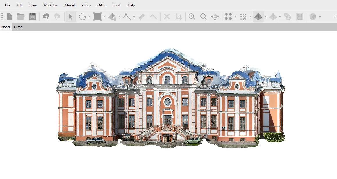
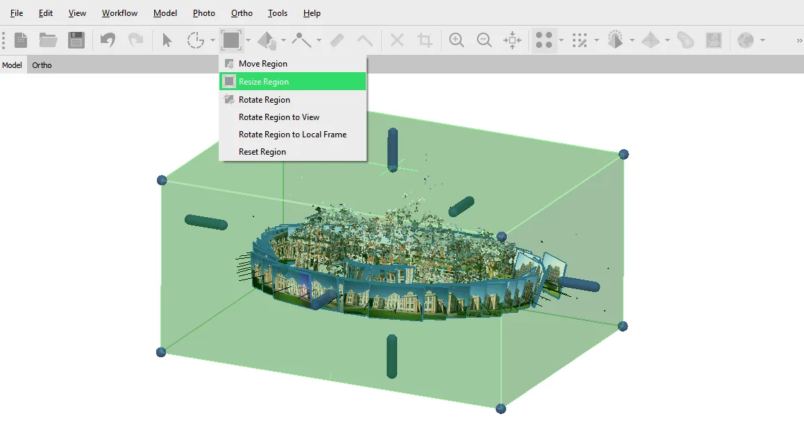
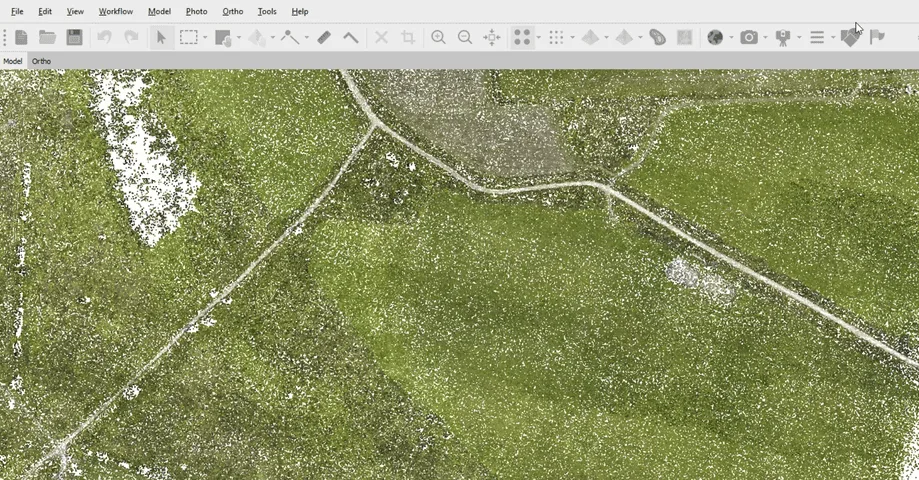
Metashape reconstructs 3D geometry from overlapping photographs, and optionally from LiDAR scans, using structure from motion and multi view stereo. Agisoft has been building it since 2006, first as PhotoScan and under the current name since 2019. It sits in the processing stage of a capture pipeline: you bring images, it produces aligned cameras, a dense point cloud, a mesh, a digital elevation model and an orthomosaic, and you take those into GIS, CAD or a DCC application. Two things separate it from most of the field. It is sold as a perpetual licence at a time when competitors moved to subscriptions, and major version upgrades have been free, including PhotoScan to Metashape 1.x and 1.x to 2.x. The other is emphasis: this is built for measurable geographic truth rather than fast good-looking assets, which is why surveyors and archaeologists use it and why game artists often do not.
Ground control points, RTK and PPK metadata, EPSG coordinate systems and geoid grids, with detailed error reports covering camera calibration, tie point reprojection and control point deviation. Without control points you get whatever the camera's GPS tag was worth; with them, carefully controlled projects are commonly reported in the low centimetre range. Professional edition only.
Photogrammetry fails on the surfaces that have nothing to match: blank walls, glass, shiny paint, dense canopy. Laser scans fail at texture. Metashape registers the two together, so the geometry comes from the laser where it has to and the appearance comes from the photographs. Recent releases added marker-based alignment of scans and ground classification tuned for laser data.
Frame cameras, fisheye, spherical and cylindrical rigs, video frames, multispectral and thermal imagery. The multispectral path computes indices such as NDVI directly, which is why it turns up in agronomy work that would otherwise need a separate GIS step.
A Python API, a Java API and headless operation make it automatable, and network processing splits a job across machines on a LAN. That last feature is underrated: several mid-range machines clustered together often beat one very expensive workstation, because the alignment stages care more about clock speed than core count.
Version 2.3 added an assign-image tool that lets you choose which source photograph paints a given part of the model. It exists because automated texturing produces ghosting and occlusion artefacts on anything complicated, and until now the only fix was to reshoot or repair the texture by hand elsewhere.
Recurring themes across third-party user reviews (G2, Capterra, TrustRadius).


Agisoft Metashape is not free. It is paid software with no free tier, starting at USD 179 one-time (Standard).
| Plan | Price | What you get |
|---|---|---|
| Standard, node-locked | USD 179 one-time | Perpetual. Photogrammetry, meshing and texturing, but no georeferencing, no DEM or orthomosaic, no LiDAR, no measurements and no scripting. Fine for objects, not for maps. |
| Professional, node-locked | USD 3,499 one-time | Perpetual. Adds georeferencing, DEM and orthomosaic generation, LiDAR support, multispectral processing, measurement tools, Python and Java APIs and network processing. |
| Educational | USD 59 Standard, USD 549 Professional | Same software, strictly non-commercial. Agisoft requires written proof from an accredited institution and can ask for it at any time; failing to supply it means paying the difference to a commercial licence. |
| Floating and service provider | Quote only | Floating licences are sold through resellers rather than the online store. There is also an annual and pay-per-hour service provider option for firms that need operating expenditure instead of a capital purchase. |
When the output has to be defensible rather than merely convincing. Control point handling, transparent error statistics and coordinate system support are the reasons this is standard in survey firms, and they are also exactly what the Standard edition leaves out.
Merging terrestrial laser scans with close range photography preserves both the metric fidelity and the surface appearance of an artefact or site. The perpetual licence also suits institutions that cannot commit to recurring software budgets.
Multispectral and thermal processing with vegetation indices computed in the same application that builds the orthomosaic, rather than exporting to GIS to do it.
Python scripting plus headless operation makes repeatable processing pipelines practical, and the educational pricing at 59 and 549 dollars puts it within reach of a university lab budget.
It is CPU and RAM bound where the competition is GPU accelerated, so it is slower on large image sets, and the mesh it produces is geometrically right but topologically chaotic. For real-time assets the usual route is to export the high poly result, retopologise it elsewhere, then come back to bake textures.
The parameter density is the point of the software and also its barrier. Tie point limits, accuracy thresholds, confidence filters and calibration matrices all reward understanding and punish guessing. A phone scanning app is a different product for a different person.
If you never need coordinates, the 3,499 dollar Professional licence buys capabilities you will not touch, and the 179 dollar Standard edition may be all you need. Check the feature split before assuming you need the expensive one.
Both share the same reconstruction engine, so alignment, dense cloud, mesh and texture are identical. Professional adds everything to do with measurement and geography: ground control points and RTK or PPK georeferencing, digital elevation models, orthomosaics, LiDAR support, multispectral and thermal processing, distance and volume measurement, the Python and Java APIs, and network processing. If your output needs coordinates, you need Professional. If you are scanning objects, Standard at 179 dollars may cover it.
Yes. A node-locked licence at 179 or 3,499 dollars is perpetual, and the licence is rehostable to another machine. What makes Agisoft unusual is that major version upgrades have also been free: existing users moved from PhotoScan to Metashape 1.x and then to 2.x without paying again. Recurring charges only apply if you opt into cloud processing or the service provider rental.
More than you expect, and it is the constraint that matters most. Project size is limited by physical memory rather than any setting in the software, and once the operating system starts swapping to disk, processing slows by orders of magnitude or the job dies. As rough guidance from the community: 32GB handles small projects of a few hundred images, 64 to 128GB is normal for professional work in the low thousands, and very large aerial surveys run on machines with 256GB or more.
Yes, natively, including Apple silicon. This is a real differentiator in photogrammetry: RealityScan is Windows only and Meshroom needs an NVIDIA GPU, so on Apple hardware the field narrows quickly. Linux builds for Debian and Ubuntu exist too, which is why it turns up on research clusters.
Not usually, not without work. The mesh is accurate but its topology is unstructured and the automatic UV layout is poor by real-time standards, which is a common complaint from artists rather than a defect for its intended surveying audience. The standard route is to export the dense result, retopologise in Blender or ZBrush, then bake the detail from the high poly version onto the clean mesh.
They optimise for different things. RealityScan is GPU accelerated, much faster on large image counts, and free below a revenue threshold, which makes it attractive for asset creation. Metashape is built around geodetic correctness: coordinate systems, control points, multispectral data and error reporting you can put in a report. For a small studio making models, the free tier is hard to argue with. For a survey firm whose output has to be measurable and defensible, the perpetual licence is the cheaper answer over several years and the data integrity is the actual reason to buy it.
Epic Games photogrammetry suite, formerly RealityCapture, free below USD 1M revenue and built for merging photos with laser and SLAM scans.